
Workshop sites
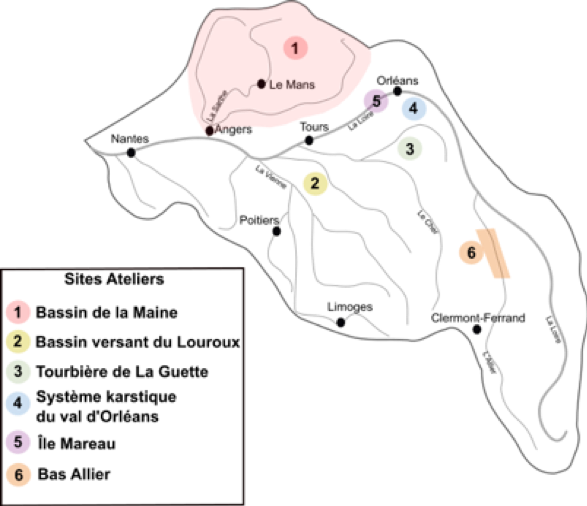
The Six workshops registered currently serve as the basis for the new organisation of the Atelier Zone for the 2020-2024 project. In the current project, these are areas subject to (i) regular measurement campaigns or data collection, (ii) approaches involving different disciplines and teams around one or more research questions.
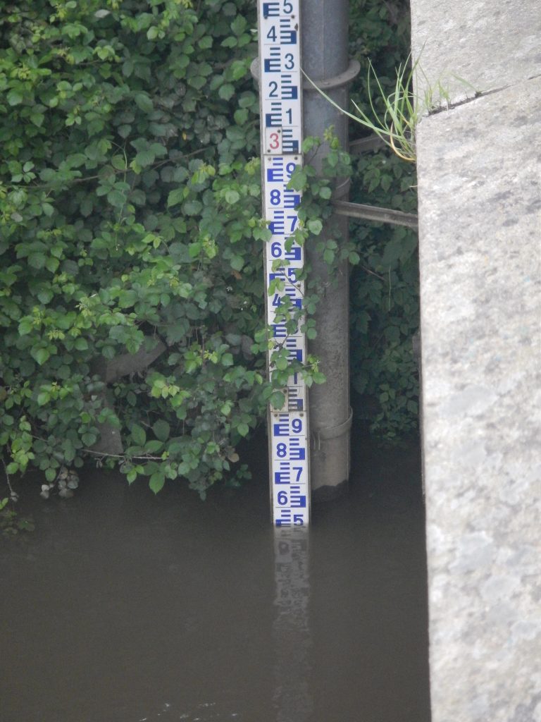
The Maine catchment area (22,000 km)2), low-energy river, followed by floods and the functioning of the hydrosystem.
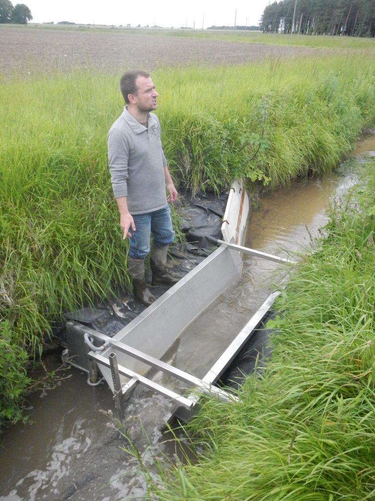
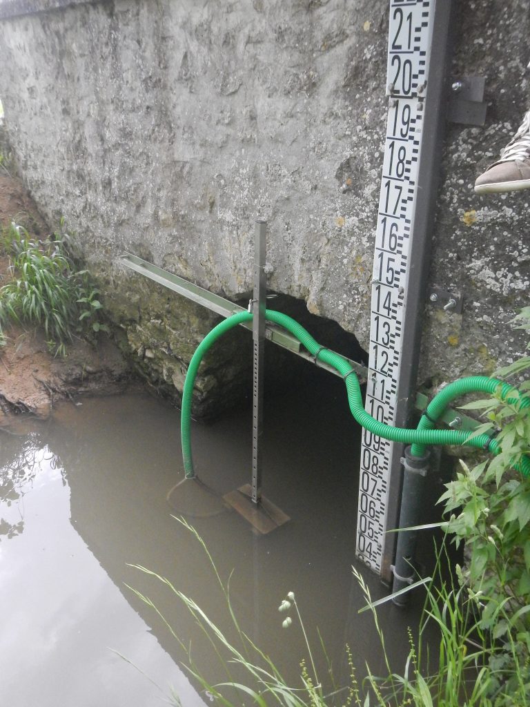
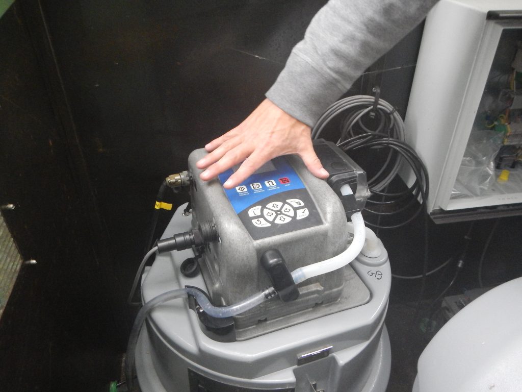
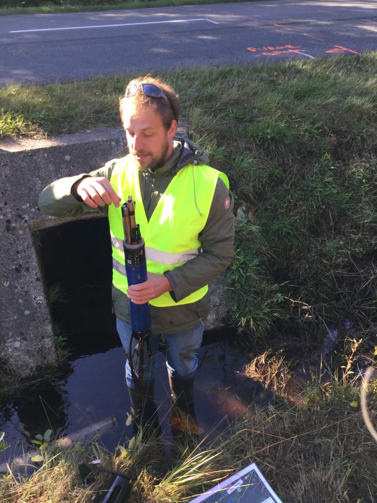
2- Le Louroux (Indre-et-Loire): agricultural catchment area (24 km)2), 8 water and suspended solids measuring stations.
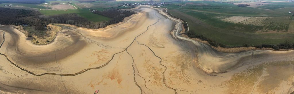
Stitched Panorama
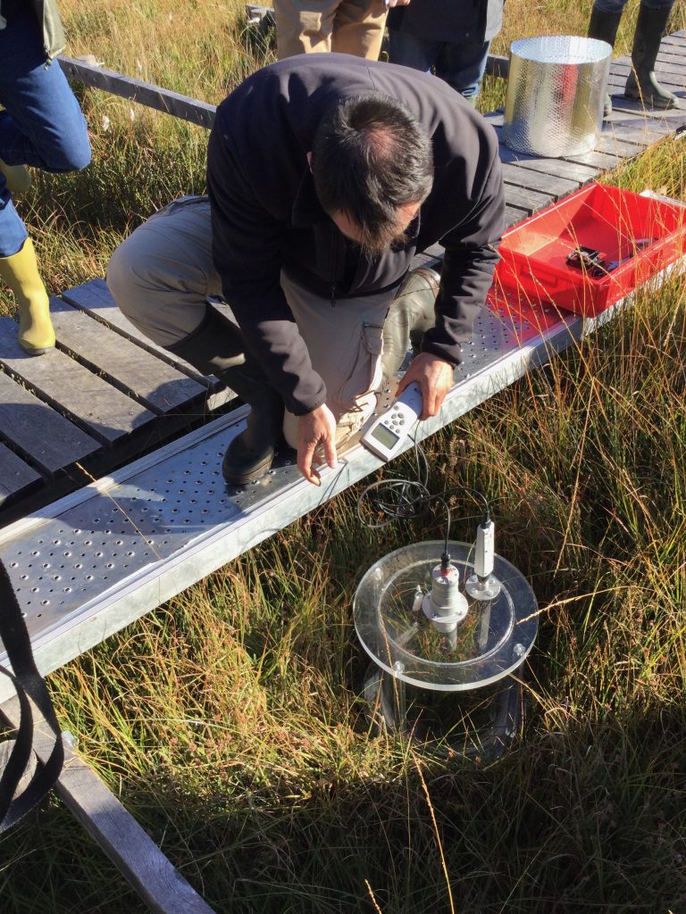
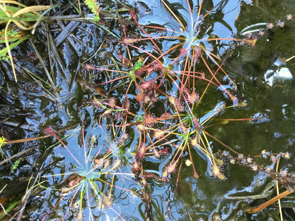
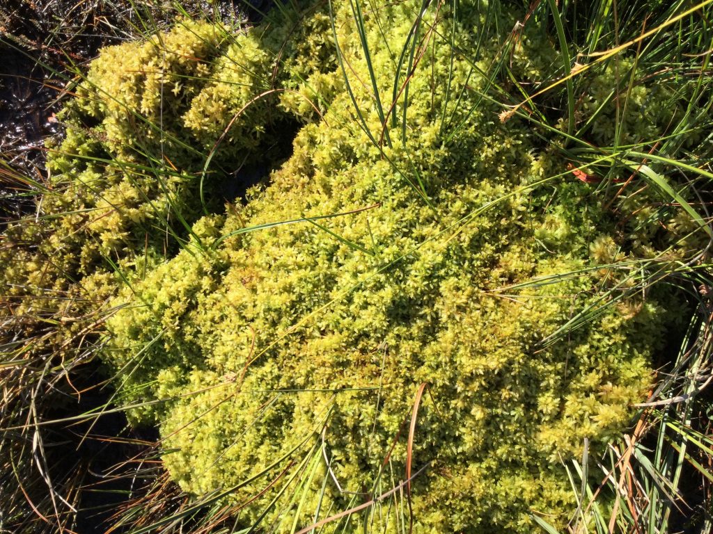
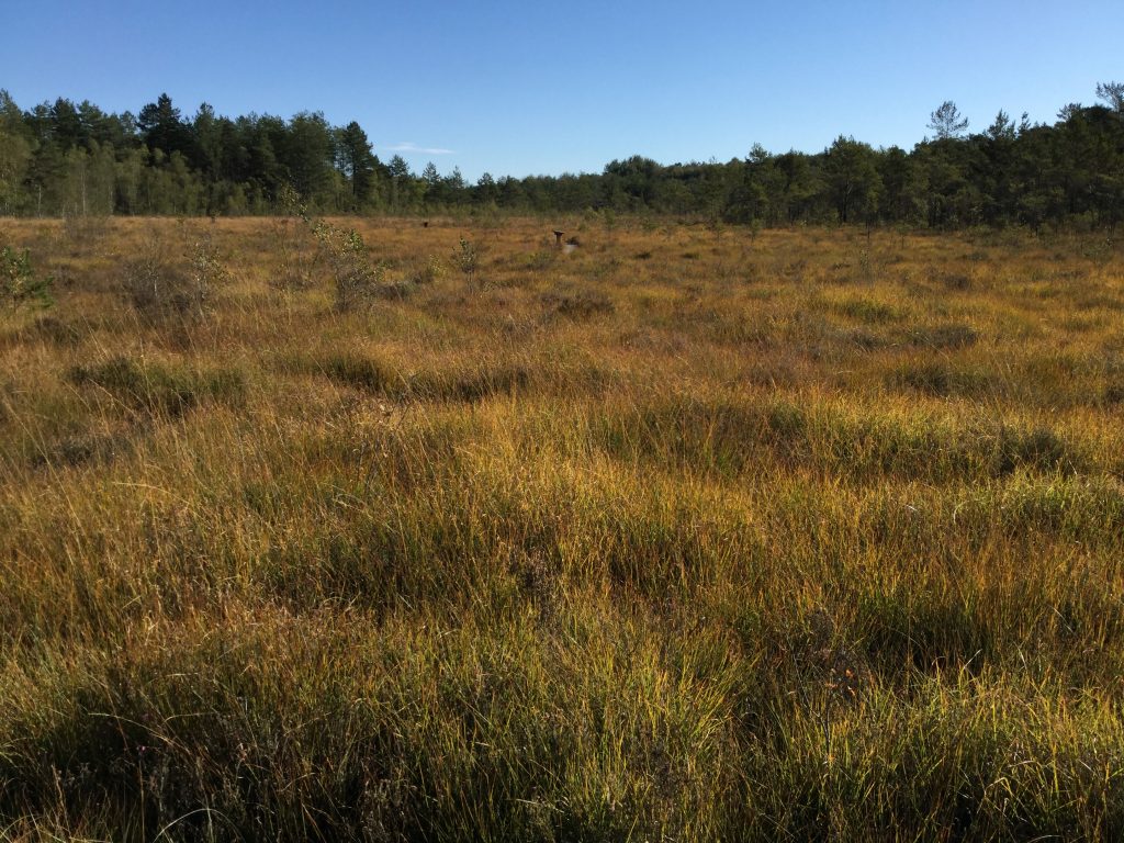
3- La Guette bog (Cher, Sologne, 25 ha): a site instrumented for monitoring various variables (hydrology, weather, biodiversity, soil physico-chemistry, CO emissions).2, Switzerland4) INSU SIC labelling (National Peat Observatory Service: www.insu.cnrs.fr/node/3988).
4- Karst system of the Val d’Orléans (Loiret): chronicles of centennial measurements enabling the observation of the hydrochemical evolution of the karst aquifer (from the Loire to the Loiret), INSU SIC labelling (National Karst Observation Service: www.insu.cnrs.fr/node/3973).
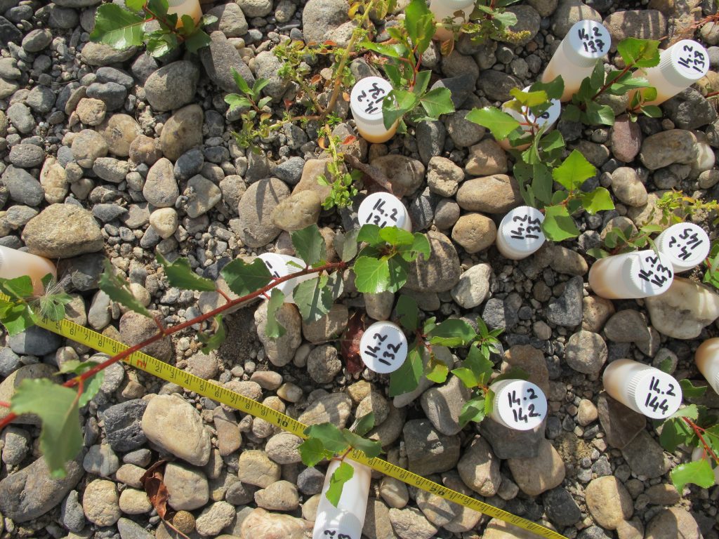
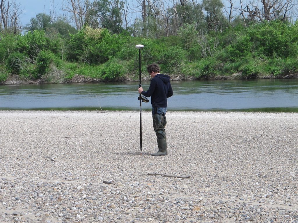
5 - Mareau-aux-prés Islands (Loiret, St-Mesmin National Nature Reserve, 13 ha) subject to river dynamics: study of hydrosedimentary and ecological functioning, analysis of the impacts of work carried out in the embanked riverbed and landscape dynamics.
6 - The Bas Allier site (Allier, Val d’Allier National Nature Reserve), known for its strong fluvial morphodynamics and lateral mobility with little impact from human development: study of its hydrosedimentary, biogeomorphological, and ecological functioning.
These sites are supplemented by new sites and will be integrated from 2020 into three platformsLarge rivers Urban Environments, Basin Heads grouping several sites in a coherent way.